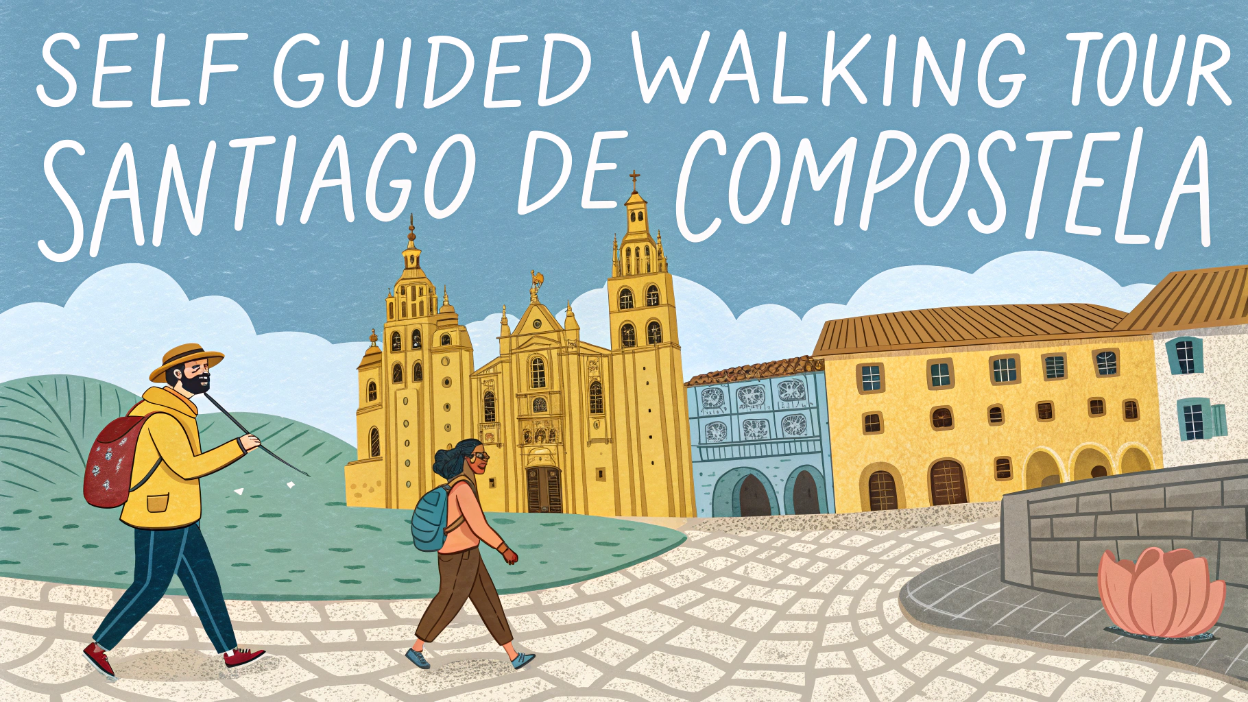
Custom walking tour maps help you explore cities at your own pace while hitting all the spots that interest you most.
This quick guide shows you how to create your own walking tour maps using popular digital tools and traditional methods.
Essential Tools for Creating Walking Tour Maps
- Google My Maps
- MapMyWalk
- Komoot
- Traditional paper maps
- City tourism office materials
- GPS device (optional)
Steps to Create Your Custom Walking Tour Map
- Research Points of Interest
- Check local tourism websites
- Read travel blogs
- Look up historical landmarks
- Find hidden gems through local forums
- Plot Your Route
- Start and end at convenient points (hotel, transit station)
- Keep walking distances reasonable (2-3 miles for casual tours)
- Include rest stops and bathroom breaks
- Mark cafes and restaurants along the way
Digital Mapping Tips
Google My Maps lets you create custom layers for different categories (food, attractions, photo spots) with unique icons.
Save your map offline by downloading the area in Google Maps before you start walking.
Add time estimates between stops to help plan your day better.
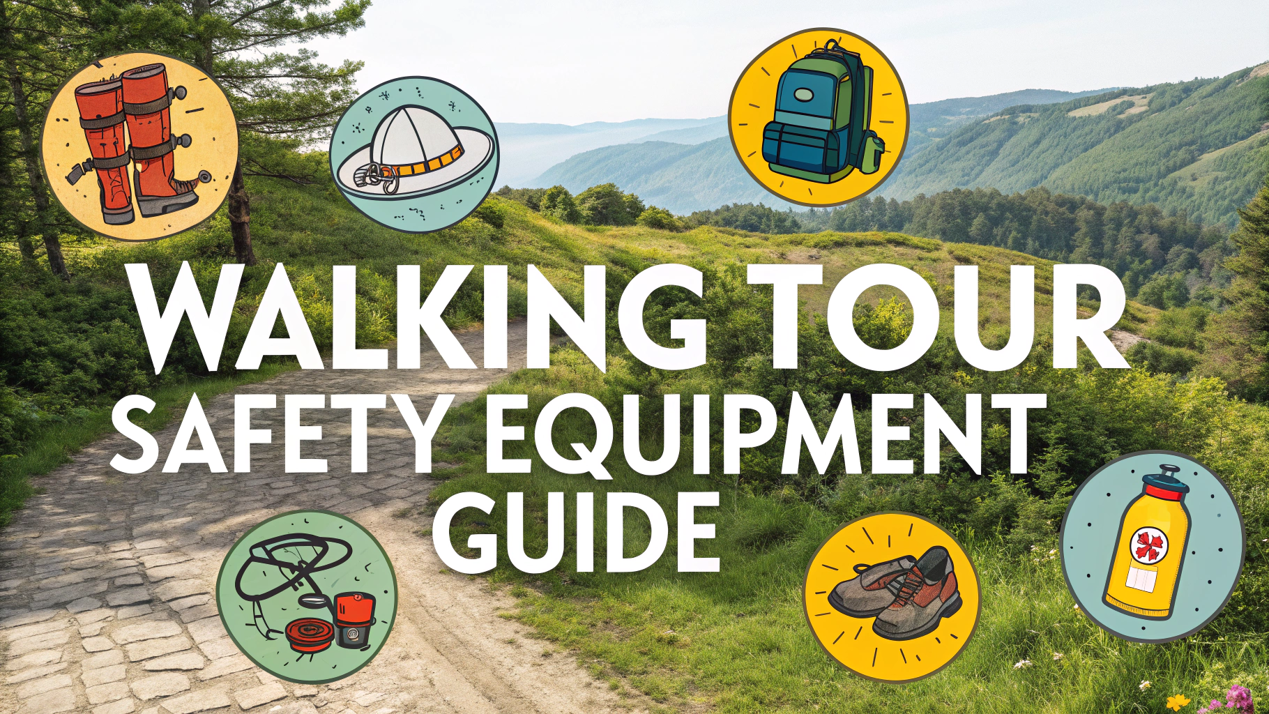
Safety and Practical Considerations
- Check neighborhood safety ratings
- Mark public restrooms on your map
- Include alternate routes for bad weather
- Note public transit options along the route
Recommended Apps for Walking Tours
| App Name | Best Feature | Price |
|---|---|---|
| Google My Maps | Custom layers and sharing | Free |
| Komoot | Turn-by-turn navigation | Free/Premium |
| MapMyWalk | Distance tracking | Free/Premium |
Making Your Tour Memorable
Add historical facts and interesting stories about each stop in your map notes.
Include photo opportunities and best times of day for pictures.
Mark spots where local events or street performances typically occur.
Sharing Your Walking Tour
Export your map as a PDF for offline use or share the digital version with fellow travelers.
Consider creating a simple website or blog post with your route and experiences.
Upload your map to community platforms like TripAdvisor or local tourism forums.
Common Mistakes to Avoid
- Planning routes that are too long
- Forgetting to check opening hours
- Not including alternative routes
- Overlooking seasonal closures or events
Tour Customization Options
- Theme-based routes (architecture, food, history)
- Family-friendly modifications
- Accessibility considerations
- Seasonal variations
Maintaining Your Walking Tour Map
Regular Updates
- Check for business closures
- Update seasonal hours
- Add new attractions
- Incorporate user feedback
Community Input
- Gather suggestions from other travelers
- Include local recommendations
- Update based on recent reviews
Advanced Features
Link audio guides to specific map points for historical context and stories.
Include augmented reality elements for interactive experiences at landmarks.
Monetization Options
- Create premium versions with exclusive content
- Partner with local businesses
- Offer guided versions of self-made tours
- Develop city-specific tour packages
Conclusion
Creating custom walking tour maps combines technology with personal exploration preferences. Success depends on thorough research, practical planning, and regular updates. Start with basic tools and expand features as needed.
Remember to test your route personally before sharing, and always keep safety and accessibility in mind. Your custom map can enhance both your own travel experience and help others explore new destinations effectively.
FAQs
- What are the essential elements to include when creating a custom walking tour map?
Key elements include clear route marking, points of interest, distance markers, estimated walking times, north arrow, legend/key, street names, rest stops, and potential detour options. - What’s the ideal length for a self-guided walking tour?
Most successful self-guided walking tours are between 1-3 miles (1.6-4.8 kilometers) and take 1-3 hours to complete, allowing time for stops and sightseeing. - Which mapping tools are best for creating custom walking tour maps?
Google My Maps, MapHub, ArcGIS Online, and OpenStreetMap are popular tools. For professional results, Adobe Illustrator or QGIS can be used to customize existing map data. - How do I make my walking tour map accessible for different users?
Include accessibility information like stairs, ramps, rest areas, public restrooms, terrain difficulty, and alternative routes. Use clear fonts, high contrast colors, and provide digital and printable versions. - What information should I include about each point of interest?
Include the name, historical significance, brief description, photographs, visiting hours if applicable, and any special features. Consider adding QR codes linking to detailed information. - How can I ensure my walking tour map is easy to navigate?
Use numbered waypoints, clear directional arrows, distance markers, and prominent landmarks as reference points. Include cross-streets and clear instructions for direction changes. - What’s the best way to indicate walking routes on my map?
Use distinct, high-contrast colored lines for the main route, with dotted lines for alternatives. Make lines thick enough to be visible but not obscure street names or landmarks. - Should I include public transportation information on my walking tour map?
Yes, mark nearby public transit stops, parking areas, and bike-share stations. Include information about how to get to the starting point and leave from the endpoint. - How can I make my walking tour map weather-resistant?
If printing physical maps, use waterproof paper or lamination. For digital versions, ensure they’re downloadable for offline use and provide weatherproof storage suggestions. - What scale should I use for my walking tour map?
Use a scale between 1:2,500 and 1:6,000 for urban areas, which provides enough detail while keeping the map manageable. Include a scale bar for reference.