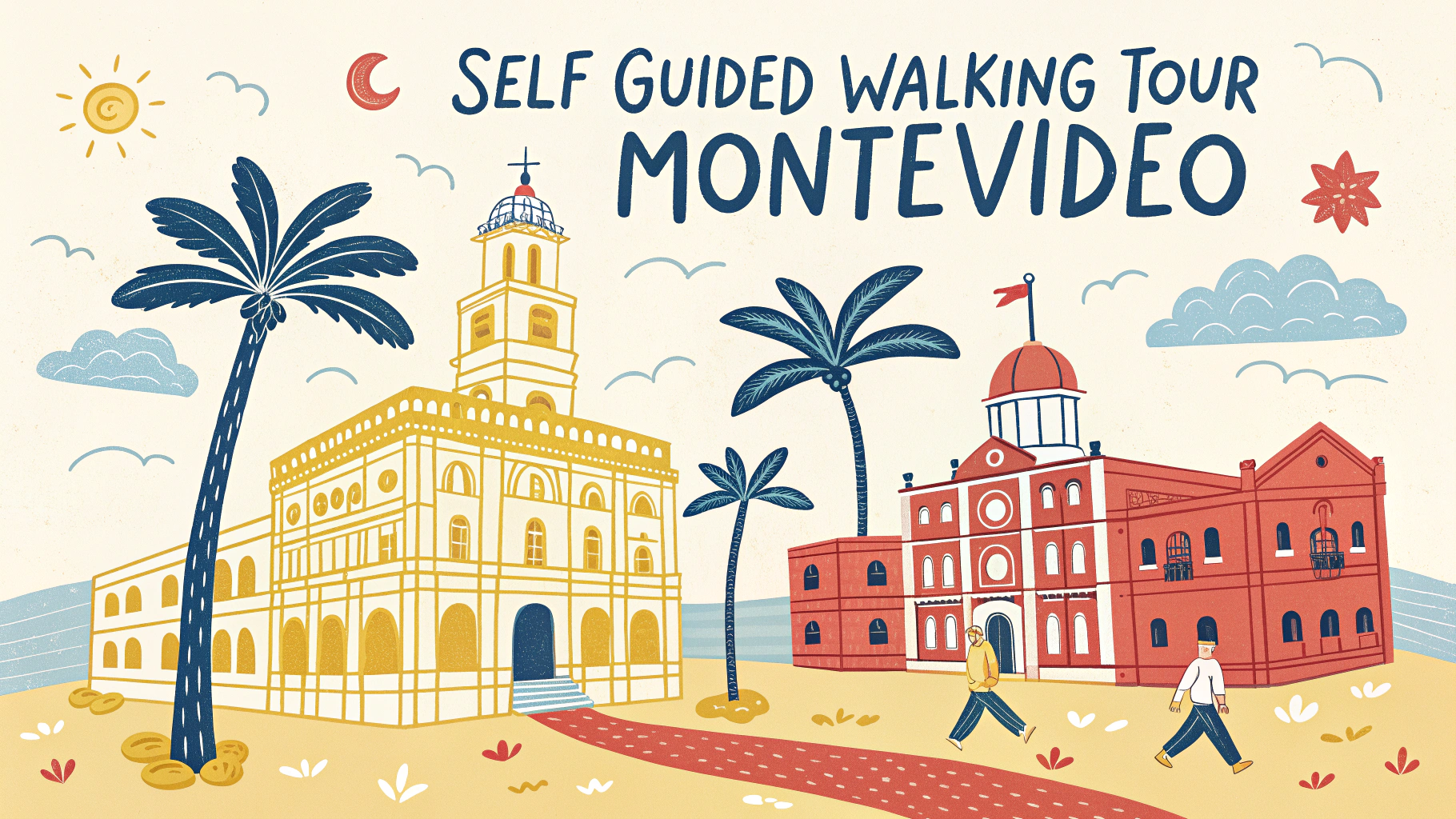
Street pattern recognition helps urban explorers, historians, and curious wanderers understand how cities evolved and developed over time.
Common street patterns include grid systems, radial layouts, organic medieval patterns, and modern suburban curves.
Basic Street Pattern Types
- Grid Pattern – Straight streets intersecting at right angles, common in planned cities
- Radial Pattern – Streets radiating from a central point like spokes on a wheel
- Organic Pattern – Irregular, winding streets following natural terrain
- Hierarchical Pattern – Main arteries branching into smaller residential streets
Walking Tour Tips
- Start at elevated points to observe overall patterns
- Take photos at intersections to document changes in street layouts
- Note building ages along different street types
- Compare modern maps with historical ones to spot pattern evolution
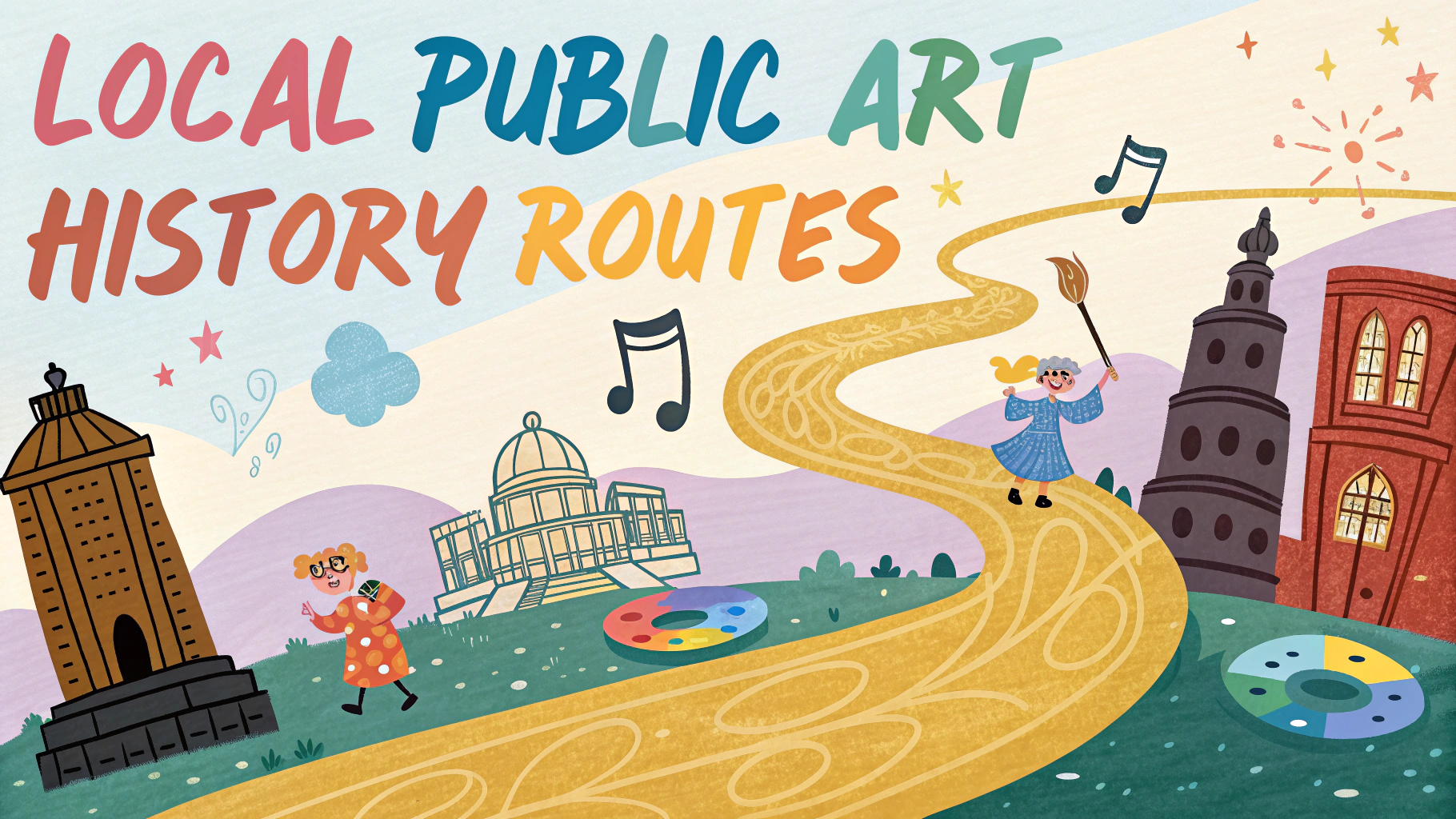
Historical Clues in Street Patterns
Curved streets often indicate pre-automobile design or natural obstacles like hills or rivers.
Wide boulevards typically suggest 19th-century urban planning influenced by Haussmann’s Paris redesign.
Dead-end streets and alleyways frequently point to medieval origins or unplanned growth.
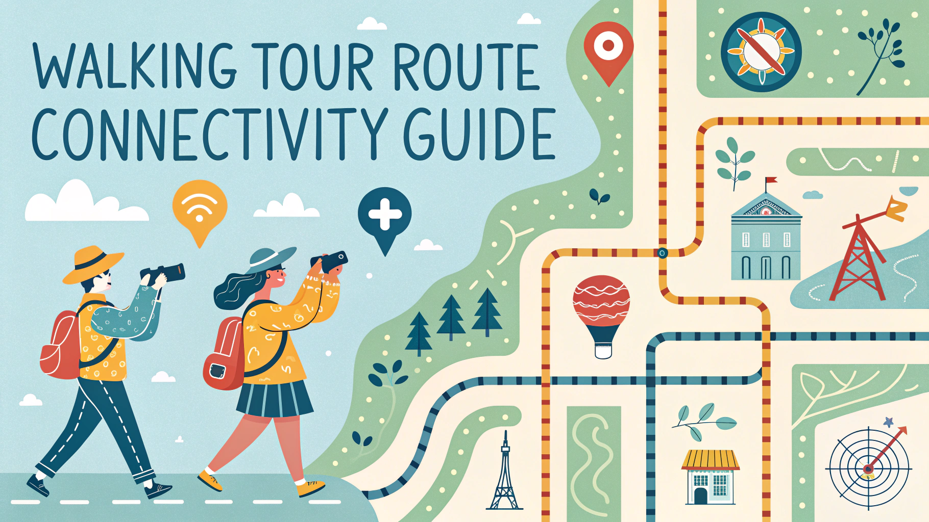
Self-Guided Tour Planning
| Time Available | Recommended Focus |
|---|---|
| 1 hour | Single pattern area |
| 2-3 hours | Pattern transitions |
| Full day | Multiple districts |
Essential Tools
- Smartphone with offline maps
- Comfortable walking shoes
- Small notebook for observations
- Camera or phone for documentation
- Water bottle and weather protection
Reading Street Names
Street names often reveal historical uses, important figures, or geographical features.
Look for patterns in naming conventions – they often indicate when areas were developed.
Safety Tips
- Share your walking route with someone
- Stay aware of traffic patterns
- Keep valuables secure
- Plan walks during daylight hours
- Carry a portable phone charger
Download local walking tour apps for enhanced navigation and historical information.
Recommended Resources
- Walk Score – For walkability ratings
- OpenStreetMap – For detailed street patterns
- Local historical society websites for area-specific information
Contact your city’s planning department for detailed information about street pattern development and historical maps.
Pattern Evolution Studies
Street patterns evolve as cities grow and adapt to changing transportation needs and urban planning philosophies.
Common Transitions
- Medieval to Grid: Represents modernization efforts
- Grid to Curved: Shows shift to automobile-focused design
- Organic to Planned: Indicates urban renewal projects
Modern Influences
Contemporary street patterns reflect environmental concerns, pedestrian needs, and sustainable urban development principles.
- Mixed-use developments
- Bicycle-friendly infrastructure
- Traffic calming measures
- Green corridor integration
Documentation Methods
- Create time-lapse photography series
- Sketch intersection layouts
- Record street width variations
- Map building setback patterns
Conclusion
Street pattern recognition offers valuable insights into urban development history and modern city planning principles. Understanding these patterns enhances appreciation for city evolution and aids in future urban planning decisions.
Regular observation and documentation of street patterns contribute to preserving urban history while informing future development choices. Explorers can combine traditional walking tours with digital tools for comprehensive urban discovery experiences.
FAQs
- What are the main types of street patterns I should learn to recognize?
Grid, radial, irregular/organic, curvilinear, and hierarchical patterns are the primary street layouts found in cities and towns. - How can I identify a Medieval street pattern?
Medieval street patterns are typically irregular, with narrow winding streets, dead ends, and small squares or plazas formed organically over time without formal planning. - What distinguishes a Baroque street pattern?
Baroque patterns feature grand boulevards radiating from central points, with dramatic vistas, monumental roundabouts, and geometric layouts designed to create impressive sight lines. - What’s the best way to plan a self-guided walking tour route?
Start at a major landmark, create a loop rather than a straight line, limit the walk to 2-3 miles, and include regular rest stops at points of interest. - How do I recognize a planned grid system versus an organic street pattern?
Planned grids have uniform street widths, regular intersections at right angles, and consistent block sizes, while organic patterns show irregular shapes and varying street widths. - What are the key features of American colonial town planning?
American colonial towns typically feature a central square or green, a grid pattern radiating from this center, and prominent placement of civic buildings like courthouses and churches. - How do modern suburban street patterns differ from urban ones?
Suburban patterns often use curvilinear streets, cul-de-sacs, and loop roads to create quiet residential areas, unlike urban grids designed for efficiency and connectivity. - What tools are helpful for street pattern recognition during walking tours?
Historical maps, GPS-enabled devices, architectural guidebooks, and street pattern guidebooks are essential tools for recognition and navigation. - How can I identify different historical periods through street patterns?
Look for characteristic elements like medieval irregular layouts, Renaissance straight lines and symmetry, Victorian crescents, and modern superblocks to identify different periods. - What safety considerations should I keep in mind during self-guided walking tours?
Carry a map and phone, wear comfortable shoes, stay aware of traffic patterns, plan tours during daylight hours, and know emergency contact numbers for the area.