Historic transportation routes offer fascinating windows into how people moved and connected throughout history.
Popular Historic Routes Worth Exploring
- Silk Road – Ancient trade network connecting China to Mediterranean
- Oregon Trail – 2,170-mile route from Missouri to Oregon
- Appian Way – Roman road connecting Rome to Brindisi
- Inca Trail – Network of paths linking Cusco to Machu Picchu
- Route 66 – Historic US highway from Chicago to Los Angeles
Planning Your Historic Route Walk
Research local historic transportation paths through national archives, historical societies, or transportation museums before setting out.
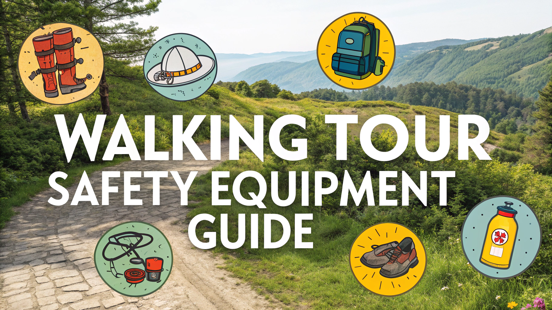
Essential Planning Tips:
- Download offline maps and historic route guides
- Pack comfortable walking shoes and weather-appropriate clothing
- Bring water and snacks, especially on remote segments
- Carry a basic first aid kit and emergency contact numbers
- Check access permissions for private property sections
Documentation Resources
| Resource | Website |
|---|---|
| National Register of Historic Places | www.nps.gov/subjects/nationalregister |
| Historic American Engineering Record | www.loc.gov/pictures/collection/hh |
Photography Tips for Route Documentation
- Photograph remaining infrastructure like bridges, mile markers, and stations
- Document interpretive signs and historical markers
- Capture landscape views showing the natural route corridor
- Take pictures of historic buildings along the route
Safety Considerations
Always inform someone of your planned route and expected return time before starting your walk.
Check weather forecasts and trail conditions, especially when exploring remote sections.
Respect private property boundaries and obtain necessary permits for restricted areas.
Quick Tips for Route Exploration:
- Start with shorter, well-documented segments
- Join local historical society walks when available
- Document your findings to contribute to historical records
- Connect with other history enthusiasts through walking groups
Consider visiting during different seasons to experience how weather impacted historical travel.
Recommended Tools
- GPS device or smartphone with offline mapping capability
- Digital or printed historic maps of the area
- Camera for documentation
- Small notebook for recording observations
- Local guidebooks or historical references
Contact local historical societies or museums ahead of time to access specialized maps and documentation.
Historical Context Research
Understanding the historical significance of transportation routes enhances the exploration experience and provides valuable context for your journey.
- Study period maps and historical accounts
- Research the economic impact on local communities
- Learn about the different types of travelers who used the route
- Understand the route’s role in regional development
Modern Route Preservation
Many historic routes face preservation challenges due to urban development and changing land use patterns.
Preservation Activities:
- Support local preservation initiatives
- Participate in route maintenance volunteer programs
- Share documentation with historical societies
- Advocate for historical marker placement
Educational Opportunities
- Organize school field trips along accessible segments
- Create digital tours using collected documentation
- Develop educational materials about route history
- Partner with museums for special exhibitions
Conclusion
Exploring historic transportation routes provides unique insights into past travel methods and cultural connections. Through careful preparation, documentation, and respect for historical preservation, modern explorers can help maintain these important cultural heritage corridors for future generations.
Remember:
- Preserve and protect historical features
- Share discoveries responsibly
- Support local preservation efforts
- Continue learning about route history
FAQs
- What were the main historic transportation routes used in early America?
The main routes included the National Road (Cumberland Road), Boston Post Road, King’s Highway, Lancaster Pike, and various Native American trails that were later expanded into major thoroughfares. - How long does a typical self-guided historic transportation route walking tour take?
Most self-guided walking tours following historic transportation routes typically take 1-2 hours to complete, covering approximately 1-3 miles depending on the specific route and number of stops. - What should I bring on a self-guided historic transportation walking tour?
Essential items include comfortable walking shoes, water, a map or mobile device with downloaded tour information, weather-appropriate clothing, and a camera to document historic landmarks. - How can I identify original historic transportation route markers?
Look for granite milestones, old stone markers, historical plaques, and original cobblestones. Many historic routes are marked with specialized signs or medallions installed by historical societies. - Which historic transportation routes are best preserved for walking tours?
The Freedom Trail in Boston, Philadelphia’s colonial streets, and sections of the National Road in Maryland are among the best-preserved historic transportation routes suitable for walking tours. - What role did canals play in historic transportation routes?
Canals like the Erie Canal and C&O Canal were vital transportation arteries in the 19th century, connecting inland regions to coastal areas and facilitating trade. Many now feature towpaths ideal for walking tours. - How did railroad development affect earlier transportation routes?
Railways often paralleled or replaced older wagon roads and canal routes in the mid-1800s, leading to the abandonment of some historic paths while reinforcing the importance of others as urban corridors. - Where can I find reliable maps of historic transportation routes?
Historic maps can be found through the Library of Congress, state historical societies, National Park Service websites, and local preservation organizations that maintain detailed records of transportation history. - What safety precautions should I take when walking historic routes in urban areas?
Stay aware of current traffic patterns, use crosswalks, avoid isolated areas, inform someone of your route, and carry a charged phone. Many historic routes are now in busy urban areas. - How were historic transportation routes initially chosen and developed?
Routes typically followed natural geographic features like river valleys and mountain passes, often building upon Native American trails and animal migration paths, then were developed based on trade needs and population growth.